The difference between a great aerial photograph and a forgettable one is rarely the drone. Two operators can fly identical aircraft over the same property and come away with wildly different results, because aerial photography is a craft built on composition, timing, light, and judgment, not just the machine in the sky. A skilled photographer reads the scene, waits for the right moment, and frames the shot so the property and its setting tell a clear story. An amateur points the camera down and presses a record.
This guide looks at what actually makes aerial photography work: the gear worth understanding, the technique that separates professional results from hobby footage, how desert light and composition shape a Las Vegas aerial, and how to pick a drone photographer who delivers images that lift a listing instead of cluttering it.
What is aerial photography in real estate?
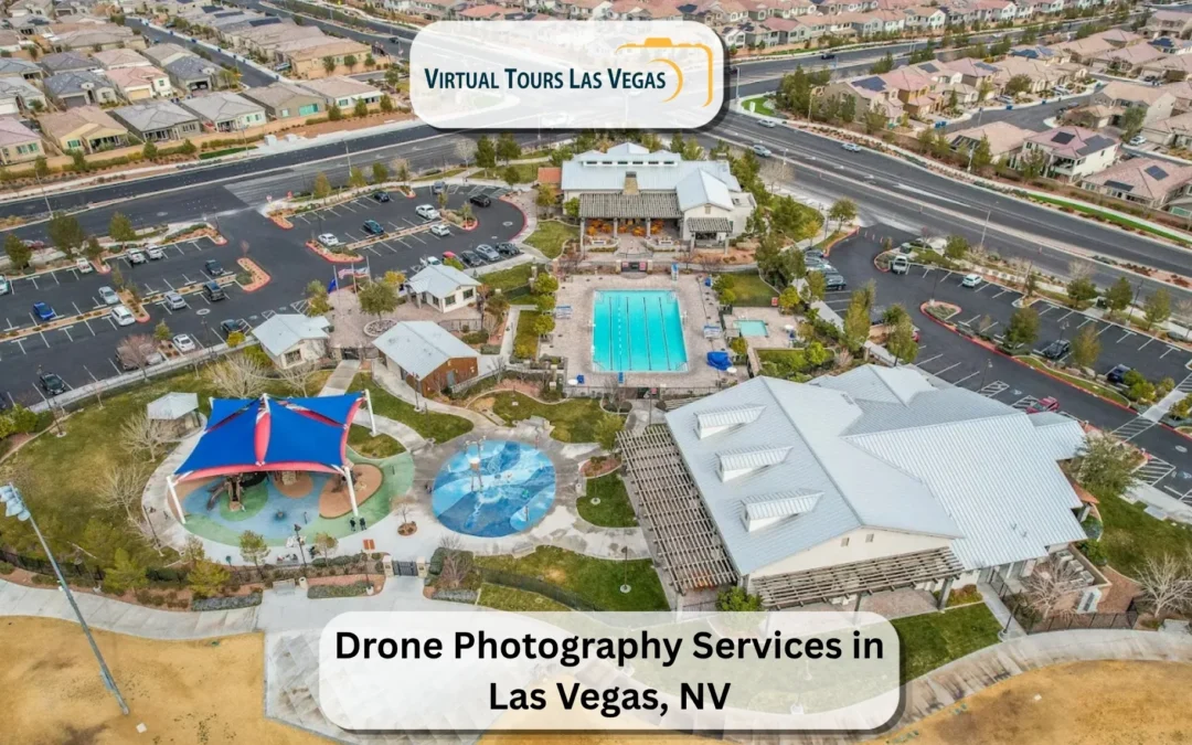
Aerial photography is the practice of capturing a property and its surroundings from an elevated vantage, usually with a camera drone. In real estate, it produces high-angle stills and videos that show a home or commercial space inside its environment: the lot, the streets, the skyline, and the landmarks nearby. It is the view a buyer cannot get from the sidewalk, and for many properties it carries the most persuasive information in the entire listing.
Good aerial work is not about flying as high as possible. It is about choosing the altitude, angle, and framing that present the property most clearly and attractively and doing it with image quality that holds up next to professional ground photography. The drone is the tool; the photograph is the product.
What separates professional aerial photography from amateur drone shots
Most people have seen a bad drone photo: a tilted horizon, muddy colors, and the house a tiny speck in a sea of rooftops. The failures are consistent, and so are the things professionals do to avoid them.
- Level horizons and clean lines. A crooked horizon instantly signals amateur work. Pros keep the frame square and the verticals honest.
- Considered composition. The property is placed deliberately within the frame, with the skyline, lot, or landmark positioned to support it rather than compete with it.
- Correct exposure. Desert light is brutal, and a casual shot blows out bright stucco or loses the shadows. Professional aerials balance the exposure so detail survives across the frame.
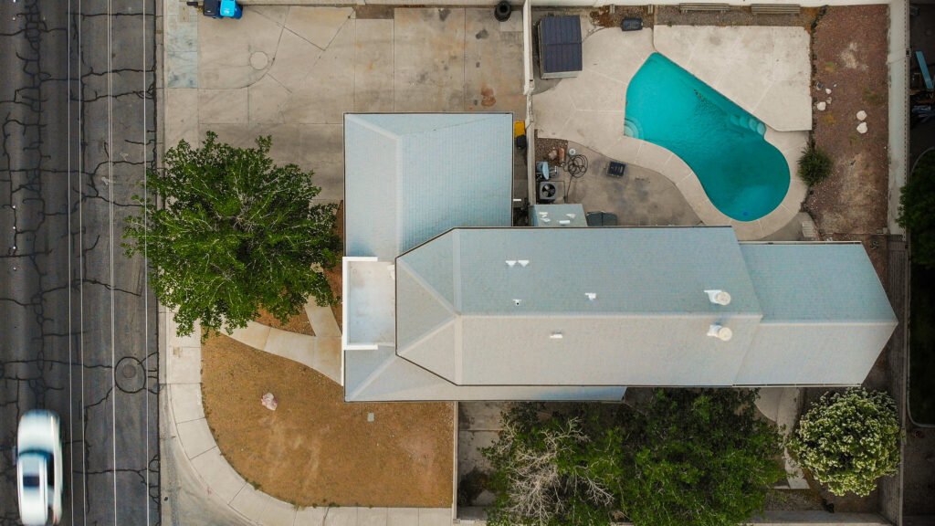
- The right altitude for the story. Too high and the property disappears; too low and the context is lost. Experience dictates the height that frames both the home and its setting.
- Clean editing. Color correction, straightening, and careful retouching turn a raw capture into a polished image that matches the rest of the listing's media.
The gap between amateur and professional aerial photography is the sum of these decisions, and none of them comes from the drone alone.
What is the best drone for aerial photography?
This is the question hobbyists ask first, and the honest answer is that the best drone is the one matched to the work, flown by someone who knows how to use it. That said, the gear does set a ceiling on quality, so a few categories are worth understanding.
Professional aerial photographers generally fly camera drones with larger image sensors, stable gimbals, and high-resolution capture, because sensor size and stabilization drive the quality of the final image far more than headline megapixel counts. The consumer and professional drone market is dominated by a handful of well-known lines, and the models pros choose for real estate tend to balance image quality, portability, obstacle awareness, and reliable flight time. A larger-sensor drone holds detail in harsh light and produces cleaner files for editing. A stable gimbal keeps video smooth, and obstacle sensing adds safety around buildings and trees.
For someone buying a drone to shoot their own listings, the temptation is to chase the most expensive model. The more useful insight is that a mid-tier professional camera drone in skilled hands beats a top-tier drone flown without technique every time. Which is the whole point of the next section.
Why the pilot matters more than the drone
A camera drone is a flying tripod with a lens. It captures what the operator tells it to capture, and it has no idea whether the shot is any good. Everything that makes an aerial photograph worth using, the angle, the timing, the light, the framing, and the safe and legal flight, comes from the person on the controller.
A skilled pilot reads the property before the first flight: where the sun is, which side shows the home best, what to include and exclude, and how to position the skyline behind the building. They fly smoothly so the video does not jitter, they know when the light is wrong and the shoot should wait, and they handle the aircraft safely around structures, trees, and people. They also fly legally, holding the FAA Part 107 certification that commercial drone work requires and understanding the airspace rules that govern where a flight is even allowed. Hand the same drone to an untrained operator and the images show it. The machine is a commodity; the judgment is not.
Composition: how professionals frame a Las Vegas aerial
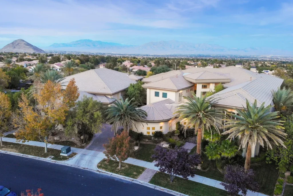
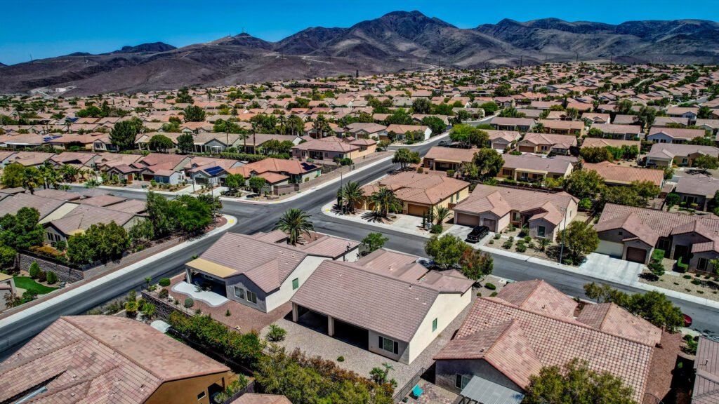
Composition is where local knowledge pays off. A Las Vegas property has specific assets worth framing, and a photographer who knows the valley uses them. The Strip skyline behind a tower, the mountain backdrop beyond a Summerlin estate, the way a Henderson home sits against open desert, these are deliberate choices, not happy accidents.
Strong aerial composition follows a few principles. The property should be the clear subject, large enough in the frame to matter, with the surroundings supporting it. Leading lines like roads and walls can draw the eye toward the home. Including a recognizable landmark anchors the location in a buyer's mind. And negative space, sky or open desert, gives the image room to breathe rather than crowding every corner. A photographer who has shot the valley for years frames these instinctively, which is why the same property looks better in experienced hands.
Timing and light: shooting aerials in the desert
Light decides whether an aerial sings or falls flat, and the desert is unforgiving. Harsh midday sun flattens a scene, washes out bright exteriors, and casts hard shadows that hide detail. The best aerial light usually comes earlier and later in the day, when the sun is lower, the color is warmer, and the shadows model the property's shape instead of erasing it.
A professional plans the flight around that window. They check the sun's position relative to the property, schedule the shoot for the hour that flatters the exterior, and watch the wind, which matters more at altitude than on the ground and can ground a flight or shake the footage. This is the kind of planning that separates a reliable aerial set from a gamble, and it is hard to do without local experience of how light and weather behave across the Las Vegas Valley.
How to choose a drone photographer in Las Vegas
When you are comparing operators, a short checklist sorts the professionals from the rest:
- FAA Part 107 certification. Non-negotiable for commercial work. Ask directly.
- A portfolio of real aerials, ideally of properties like yours, that show level horizons, clean exposure, and thoughtful composition.
- Local airspace knowledge. A valley pilot understands where flight is authorized and where it is restricted, which keeps the shoot on schedule.
- Image quality that matches professional ground photography, so the aerials sit comfortably beside the rest of the listing.
- A clear turnaround, stated in hours or days, so the listing is not waiting on the media.
- One provider for the whole package, if you also need real estate photography and a Matterport 3D tour, which keeps everything consistent.
The cheapest "drone photographer in Las Vegas" search result is often a hobbyist without certification or local knowledge. The right one is a licensed professional whose images you can actually trust to represent a property well.
Drone photography across Nevada
While the Las Vegas Valley is the core market, the same principles hold anywhere in Nevada: a licensed pilot, gear suited to the job, and an eye for composition and light. What changes from place to place is the airspace and the setting. Rural Nevada offers wide-open land that rewards aerial framing, while the dense, controlled airspace of the Las Vegas metro demands more planning and authorization. A photographer who works across the region adapts the flight plan to each location's rules and landscape, so the images stay strong whether the subject is a Strip-adjacent high-rise or a property on open desert.
Booking professional aerial photography in Las Vegas
The most reliable path to strong aerials is a licensed local professional who handles the flight, the composition, and the rest of the listing's media together.
Virtual Tours Las Vegas has photographed properties across this market since 2010 under owner and sole photographer Mike Madsen, who flies within current FAA rules and knows how desert light hits glass, stucco, and steel at every hour of the day. That experience shapes the timing and framing of every aerial set, from Summerlin towers to Spring Valley complexes and downtown high-rises.
Because Mike personally handles each shoot, the aerials match the quality of the ground photography and 3D media, and projects typically land within a 24 to 48-hour turnaround. As a Google Street View Trusted Photographer, he can also publish 360 content directly to a property's Google Maps listing. You can see the scope and examples on the drone photography services in Las Vegas page.
Common aerial photography mistakes to avoid
Even with good gear, a few recurring errors drag an aerial set down. Knowing them helps you judge a photographer's work:
- Shooting at noon. The flattest, harshest light of the day, yet the most convenient, so it is where lazy work lands. Strong aerials avoid it.
- Flying too high. An impressive altitude that turns the property into an unrecognizable dot serves no one. The home has to read clearly.
- Ignoring the background. A great property framed against a cluttered or unflattering backdrop wastes the location. Positioning matters.
- Over-processed color. Cranked saturation and heavy filters read as fake and clash with honest ground photos. Restraint looks professional.
- No safety or legal planning. Flying without certification or airspace clearance risks the shoot, the images, and real liability.
A portfolio free of these tells you more about a photographer than any spec sheet.
Frequently asked questions
What makes aerial photography look professional?
Level horizons, deliberate composition, balanced exposure in harsh light, the right altitude for the property, and clean editing. These come from the photographer's skill and judgment, not from the drone alone.
What is the best drone for aerial photography?
The best drone is one matched to the work, with a larger sensor, a stable gimbal, and reliable flight time, flown by a skilled operator. Sensor size and stabilization matter more than megapixel counts, and a mid-tier professional drone in trained hands beats a top model flown without technique.
Does the drone or the pilot matter more?
The pilot. A drone captures only what the operator directs, so composition, timing, light, framing, and safe legal flight all come from the person flying. Skill is what turns a capable drone into strong images.
When is the best time of day to shoot aerial photos in Las Vegas?
Usually earlier or later in the day, when the sun is lower and the light is warmer. Harsh midday desert sun flattens scenes and blows out bright exteriors, so professionals plan flights around the sun's position and the wind.
How do I choose a drone photographer in Las Vegas?
Confirm FAA Part 107 certification, review a portfolio of real aerials with clean composition, and check for local airspace knowledge, professional image quality, and a clear turnaround. Avoid uncertified hobbyists for commercial listing work.
Can drone photography be done across Nevada?
Yes. The same standards apply statewide: a licensed pilot, suitable gear, and skilled composition. The airspace and setting differ between the controlled Las Vegas metro and open rural areas, so the flight plan adapts to each location.
Ready for aerials that actually sell the location?
If you want aerial photography that frames your Las Vegas property the way it deserves, with the skill and licensing that professional work requires, see the full drone photography services in Las Vegas Nevada, USA, or call Mike Madsen at (702) 527-2732 for a free quote. Licensed, FAA-compliant aerials, delivered fast.